
Hike: Traunstein – Hernlersteig
- Start Location: Parking Spot Traunstein (Austria)
- End Location: Gmundner Hut
- Marked Route: Very Good
- Difficulty: Hard
- Landscape: *****
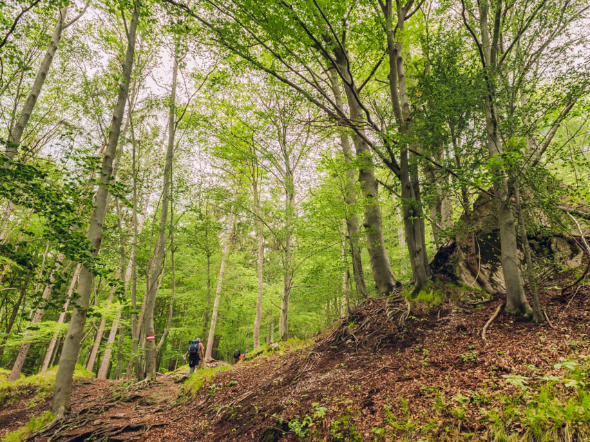
- Highlights: Ferrata, Panorama
- Track Information: See below


TRACK INFORMATIONS
- One-Way Trip: aprox. 4,5 km
- Total Climb: 1225 m.
- Total Descent: 41 m.
- Huts On Track: Gmunder Hut
- Funicular For The Descent: No
HOW TO GET HERE?
By train and bus
ÖBB
ÖBBScotty
VOR AnachB (for Vienna, Lower Austria, Burgenland)
By car
WHERE TO STAY?*
*Affiliate links. Danke für Deine Unterstützung!
CHECK THE WEATHER!
Weather warnings: ZAMG (Zentralanstalt für Meteorologie und Geodynamik)
Weather forecast: METEOGROUP
Thunderstorms Map: ALDISMOBILE