
Vienna: Stadtwanderweg Nr6 & Wotrubakirche
Vienna: Stadtwanderweg Nr6 & Wotrubakirche Start Location: Tram station Rodaun (Tram 60) End Location: Tram station Rodaun (Tram 60) Difficulty: Easy Landscape: **** Track Information: See below ...

Vienna: Stadtwanderweg Nr6 & Wotrubakirche Start Location: Tram station Rodaun (Tram 60) End Location: Tram station Rodaun (Tram 60) Difficulty: Easy Landscape: **** Track Information: See below ...
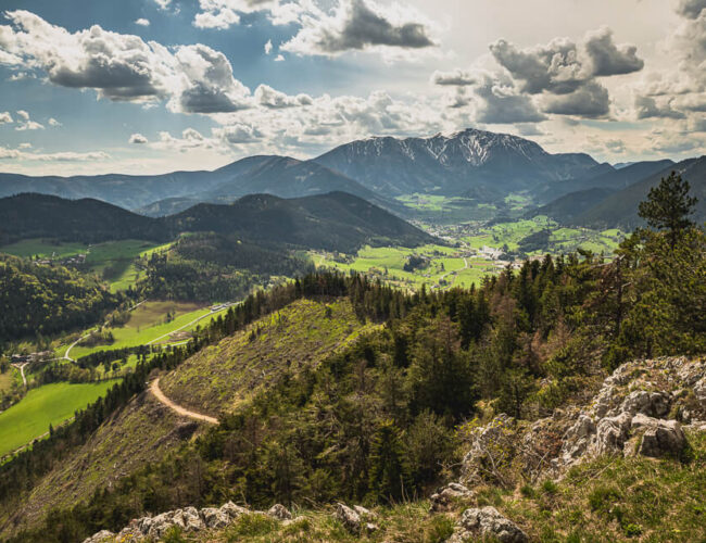
Am Geländ 1023m Start Location: Parking or bus station Gasthaus Apfelbauer End Location: Parking or bus station Gasthaus Apfelbauer Difficulty: Easy – Medium Landscape: **** Track Information: See below TRACK...
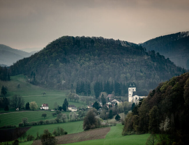
Pankraziberg Start Location: Parking or bus station Wallfahrtskirche Hafnerberg End Location: Parking or bus station Wallfahrtskirche Hafnerberg Difficulty: Easy Landscape: *** Track Information: See...

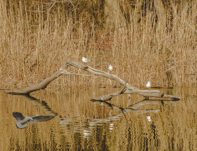
National Park Donau-Auen: Lower Lobau Start Location: Parking NationalparkCamp Lobau End Location: Parking NationalparkCamp Lobau Marked Route: Yes Difficulty: Easy Landscape: **** Track Information: See below ...
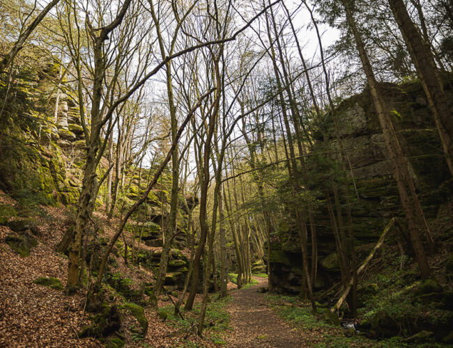
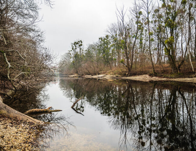
Bacharnsdorf: Kupfertal & Römerwege Start Location: Bus Station: Bacharnsdorf End Location: Bus Station: Bacharnsdorf Difficulty: Easy Landscape: **** Highlights: To do in spring! Track Information: See below...
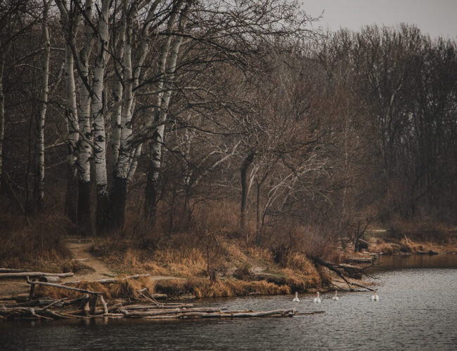
National Park Donau-Auen – Lobau Start Location: Bus Station: Raffineriestraße, Biberhaufenweg End Location: Bus Station: Raffineriestraße, Biberhaufenweg Marked Route: Not marked Difficulty: Easy Landscape: **** Track...
Prater Park Start Location: Metro Station: Messe Prater End Location: Metro Station: Messe Prater Marked Route: Not Marked Difficulty: Easy Landscape: *** Track Information: See below TRACK INFORMATIONS HOW...
Vienna: Stadtwanderweg 4 Start Location: Station: Rettichgasse End Location: Station: Rettichgasse Marked Route: Very Good Difficulty: Easy Landscape: **** Highlights: Lookout Point Track Information: See below ...
Prater Park TRACK INFORMATIONS HOW TO GET HERE? By train and bus ÖBB ÖBBScotty VOR AnachB (for Vienna, Lower Austria, Burgenland) By car: GoogleMaps OpenStreetMap WHERE TO STAY?* *Affiliate links. Thanks for your support! CHECK THE WEATHER!...
Comments are closed.